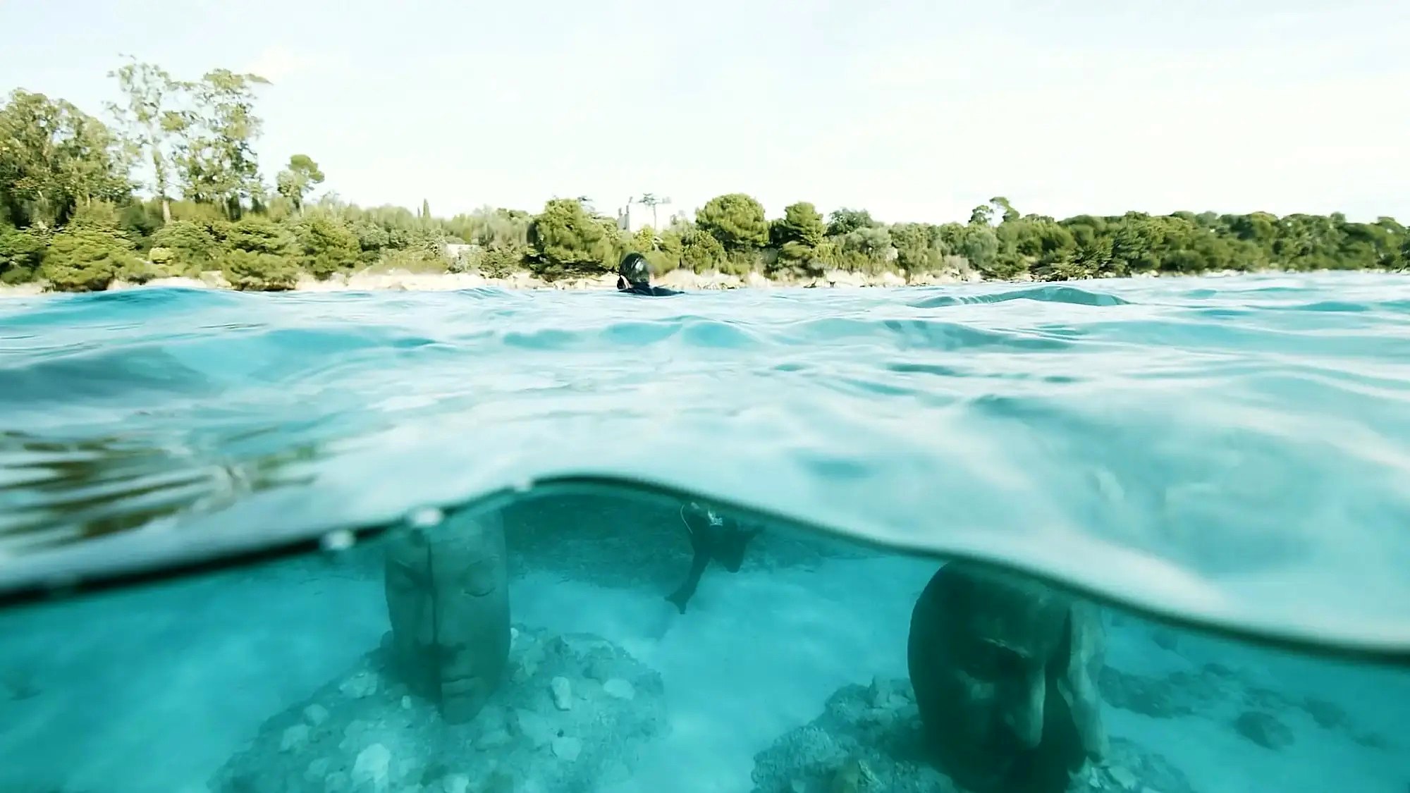
Cap Ferrat Coastal Walk: How to Hike Around the Cape
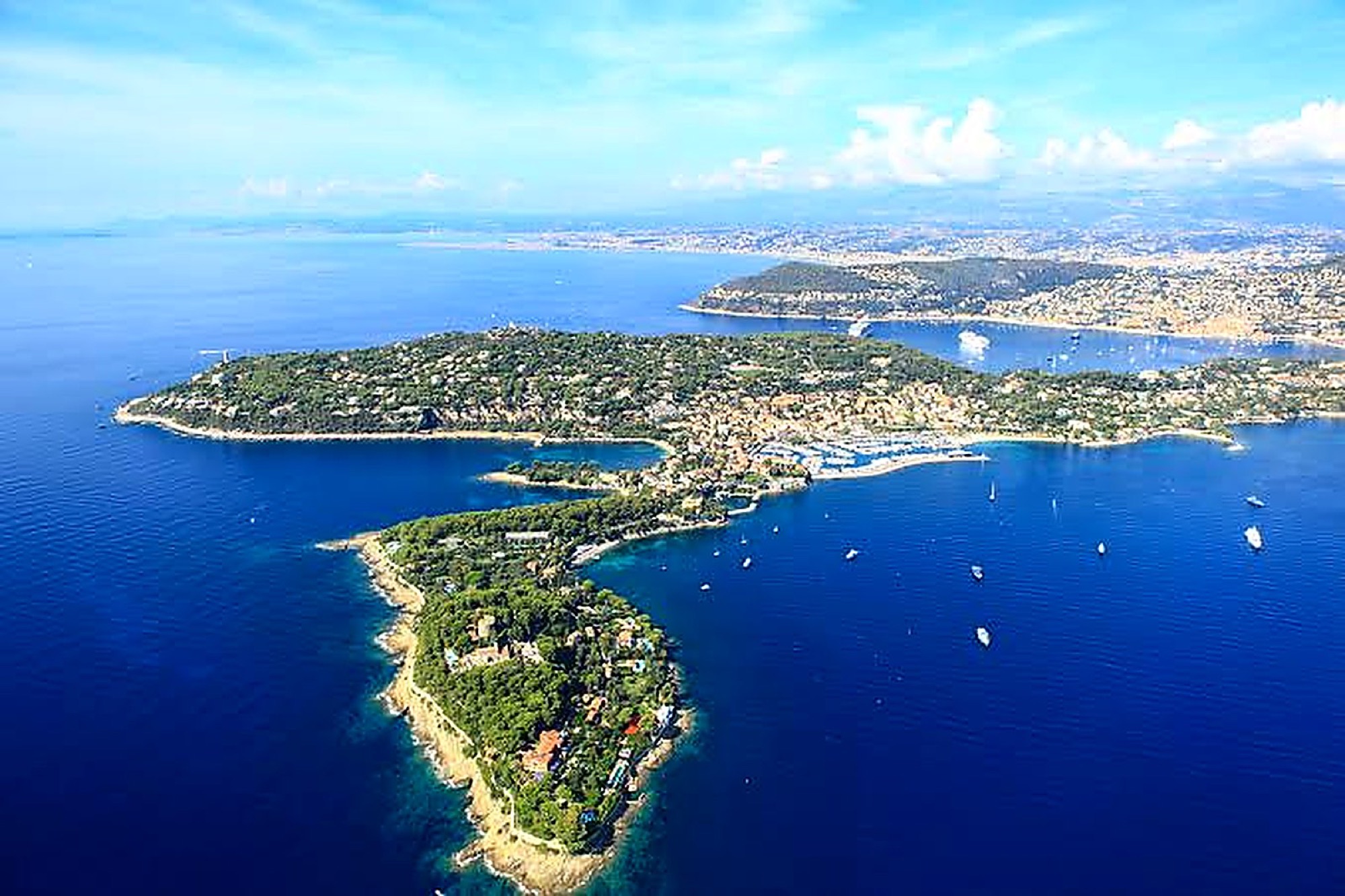
Walking around Cap Ferrat links two coastal paths starting from the port of Saint-Jean: Pointe Saint-Hospice (1.8 km, about 40 min), then the Cap Ferrat loop (4.8 km, 1.5 to 2 hours) to Passable beach. Allow half a day with breaks, wear good shoes, and check the path isn't closed because of swell or wind.
The coastal path lets you walk almost all the way around the peninsula right by the water. Cliffs, coves, pine trees and views of the Italian coast: it's a seaside walk anyone can do, provided you're reasonably used to uneven ground.
The route at a glance
The tourist office splits the walk into three paths, which you can do separately or one after the other:
| Path | Distance | Approx. time | Elevation gain |
|---|---|---|---|
| Promenade Maurice Rouvier | 1.3 km | 20 to 30 min | 5 m |
| Pointe Saint-Hospice | 1.8 km | 40 min | 15 m |
| Cap Ferrat loop | 4.8 km | 1.5 to 2 hours | 40 m |
For a proper "tour of the cape", combine Pointe Saint-Hospice with the Cap Ferrat loop, then head back to the port via chemin de Passable and avenue Denis Séméria. All in, plan on around 3 hours of actual walking, plus swim stops. There's little climbing, but the ground alternates between stone, dirt and wooden boardwalks, with steps.
Stage 1: Pointe Saint-Hospice
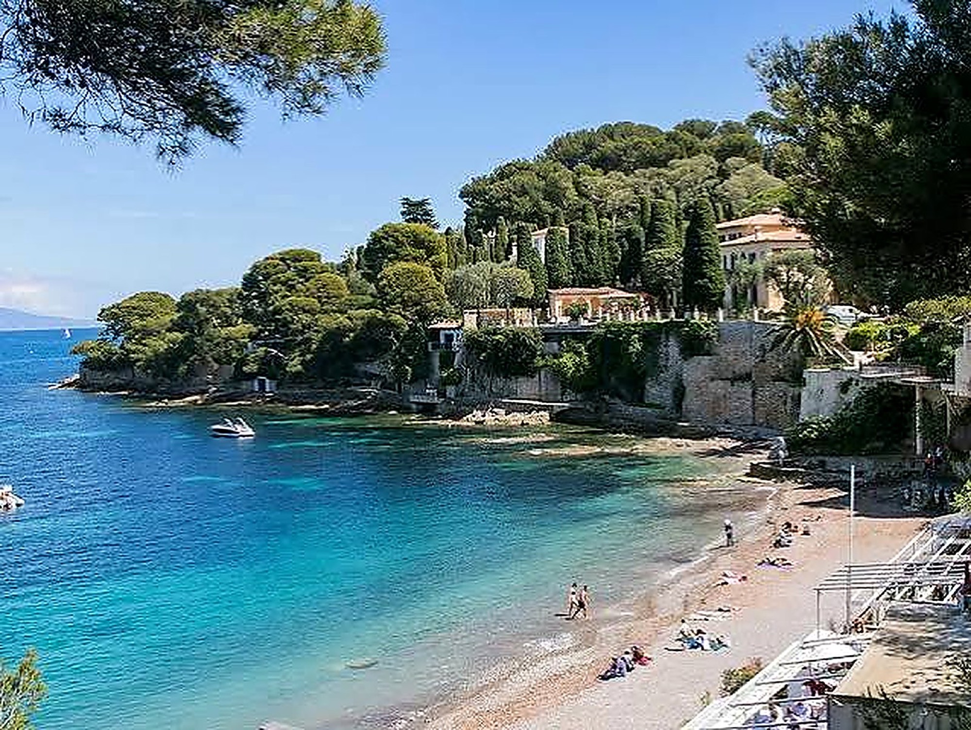
Start from the port of Saint-Jean. The path follows the sea, passes above Paloma beach (a sheltered cove facing the bay of Beaulieu), then rounds Pointe Saint-Hospice before reaching the Anse des Fossettes.
At the top of the point, about 40 metres above sea level, you'll find the Saint-Hospice chapel, an 11.40 m bronze statue of the Virgin Mary, a Belgian military cemetery and a small seaside cemetery. You get there via the traverse Edmund Davis: allow about 20 extra minutes there and back.
This first section takes 40 minutes as a loop, or an hour with the detour to the chapel. It's easy, and a little more demanding if you climb to the top.
Stage 2: the Cap Ferrat loop to the lighthouse
The second section starts on chemin de la Carrière. The path drops down to sea level, below the Grand-Hôtel du Cap-Ferrat, and reaches Pointe Malalongue, home to the Cap Ferrat lighthouse. On a clear day you can see as far as Cap de Nice and all the way to the Esterel Massif.
This is the wildest stretch: rocks sculpted by the swell, little coves and the scent of pine. Keep an eye on your footing, as the rock can be slippery after a wave.
Stage 3: the west coast to Passable
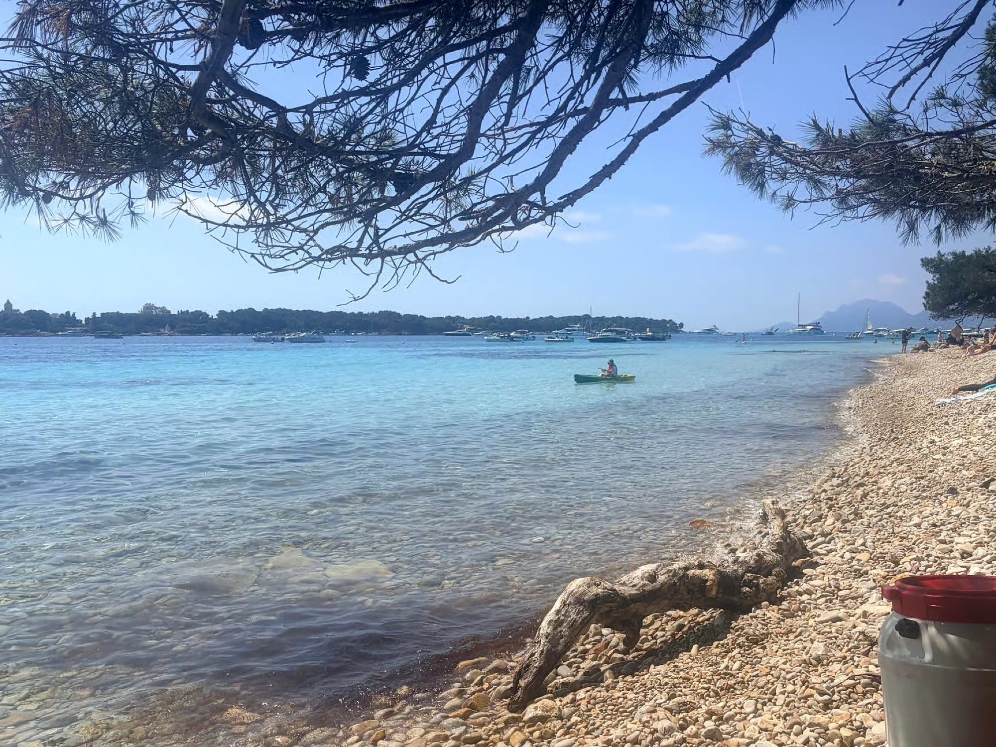
After the lighthouse, the path runs up the west coast, facing the Bay of Villefranche, alternating between coves and shady sections under the pines. It ends at Passable beach, perfect for a swim or a drink looking out over Villefranche-sur-Mer. The no. 15 bus stops at "Passable Rothschild", a few minutes' walk uphill , which saves you walking back to the port.
If you'd rather carry on east instead of west, the Promenade Maurice Rouvier links Saint-Jean town hall with the Baie des Fourmis in Beaulieu-sur-Mer. It's paved and step-free. We've written a full article on it: the Promenade Maurice Rouvier between Beaulieu and Saint-Jean.
Planning your walk
When to go
Ideally in the morning. The light is lovely on the east side (Saint-Hospice), it's cooler, and outside the high season you'll have the path almost to yourself. Spring and autumn are the most pleasant times; in high summer, the sun beats down on the exposed sections.
Closures in rough weather
This is the one thing not to overlook: in swell or wind, access to the paths can be temporarily banned for safety reasons. Some sections run right at the water's edge. Before you set off, call the tourist information office (04 93 76 08 90) or the municipal police (04 93 76 06 46), and respect any barriers on site.
What to bring
- Walking shoes or trainers with a good grip (no flip-flops).
- Plenty of water: there are few places to stock up between the lighthouse and Passable.
- Swimsuit, towel and why not a mask and snorkel: see our article on snorkeling in Cap Ferrat.
- A hat and reef-safe sunscreen.
Getting there
Lignes d'Azur bus no. 15 from Nice ("Lycée Masséna" stop) or from Beaulieu-sur-Mer station, to the "Port de Saint-Jean" terminus . By car, the Centenaire car park is the closest to the start; it's free from 1 October to 30 April.
Our partners in Saint-Jean-Cap-Ferrat
Frequently asked questions
How long does it take to walk around Cap Ferrat?
About 3 hours of walking for Pointe Saint-Hospice and the Cap Ferrat loop back to back, including the return to the port. Allow half a day with breaks.
Is the Cap Ferrat coastal path difficult?
No, the elevation gain is small (40 m at most on the Cap Ferrat loop). You do need to be comfortable on uneven ground, with steps and rocks. It isn't suitable for pushchairs, unlike the Promenade Maurice Rouvier.
Why is the path sometimes closed?
In swell or strong wind, some sections at the water's edge become dangerous. The town can then temporarily close them.
Can you swim along the way?
Yes: Paloma, Les Fossettes and Passable are all on the route. Not all of them have lifeguards .
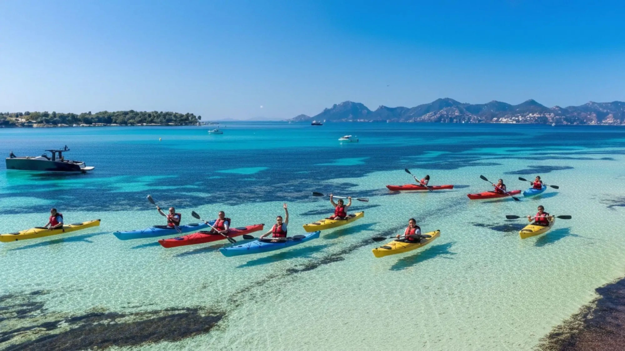
Kayaking with Azurkay
After walking around the cape, many hikers want to see it from the sea: the cliffs below the lighthouse and the coves glimpsed from the path look completely different from a kayak. Our Beaulieu-sur-Mer tour follows the coast of Cap Ferrat in a small group (16 people maximum), led by state-qualified instructors .