Best Calanques and Hidden Coves in Saint-Raphaël
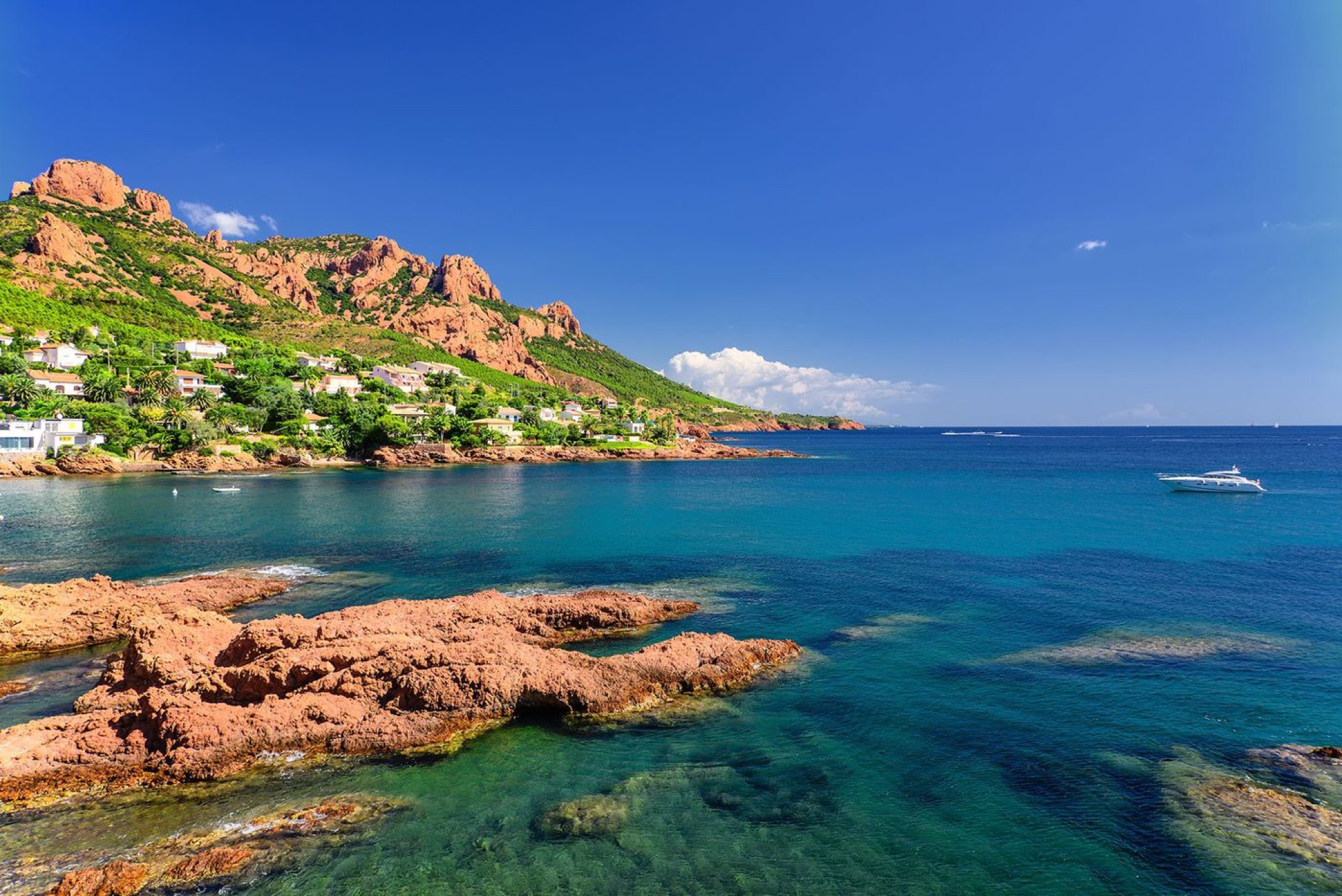
Saint-Raphaël's most beautiful coves lie east of the town center, along the Esterel coast road: the little beaches of Boulouris, Camp Long and the tiny Port du Poussaï at Le Dramont, the Calanque des Anglais at Agay, the Calanque d'Anthéor beneath its viaduct, and finally the red-pebble calanques of Le Trayas (Maupas, Aurelle, Pointe Notre-Dame). Most are reached by stairs from the road or along the coastal path.
Saint-Raphaël has several dozen kilometers of coastline, and the farther east you go, the wilder it gets. The sandy beaches of the center give way to coves of red porphyry rock — often tiny, sometimes reachable only by a staircase or a footpath. Here's our pick, from west to east, with everything you need to know before you go.
Boulouris: little beaches along the coastal path
Between the town center and Le Dramont, the Boulouris neighborhood is dotted with small beaches tucked between the rocks. Plage de l'Arène Grosse, by the little port of Boulouris, is sandy. Farther along, Plage d'Aiguebonne — about fifty meters of sand framed by rocks — and the rockier Plage de Pierre Blave make good stops along the coastal path.
A word of warning about the pebbly Calanque du Fournas: access is described as very difficult, either via the coastal path or from Plage de la Péguière. Save it for walkers in sturdy shoes.
Our tip: parking in Boulouris is a nightmare in high season. Come by TER train (Boulouris-sur-Mer station) or by bus, and walk to the beaches.
Le Dramont: history and a pocket-sized harbor
Plage du Débarquement
With big pebbles at the water's edge and sand under the pines, Plage du Débarquement (Landing Beach) is one of the busiest in the area, with a parking lot of more than 200 spaces, restrooms, showers and lifeguards in season, according to the tourist office. It looks straight out at the Île d'Or and commemorates the Allied landings in Provence on August 15, 1944: an American landing craft and a memorial stand on the esplanade.
Port du Poussaï
At the foot of Cap Dramont, the tiny Port du Poussaï and its red-pebble cove are pure postcard. The footpath down is a little hard to find, but the cove is well sheltered. Note: works are planned for winter 2026–2027 on the path down to the harbor, with a detour via boulevard du Sémaphore.
Camp Long
On the other side of the cape, Plage du Camp Long is a very sheltered sandy cove about 200 meters long, with a large parking lot. It's also the starting point for the Cap Dramont loop, described in our article on the Cap Dramont and Île d'Or hike.
At the Rochers Cathédrale and on the rocks of Le Dramont, diving in is prohibited or swimming is considered dangerous: stick to the beaches.
Agay: coves around the bay and the Calanque des Anglais
The bay of Agay is the most sheltered in the area. Beyond the main Agay beach (about 800 meters of sand along the road), look for the more secluded coves: Crique de la Baumette, Anse du Pourrousset, or Plage de l'Oratoire, reached on foot through the park.
On the eastern edge of Agay, the red-pebble Calanque des Anglais is reached by a flight of stairs. Farther on, the cove at Île des Vieilles is flagged as dangerous: better to admire it from the road or from the water.
Anthéor: the calanque beneath the viaduct
The Calanque d'Anthéor is probably the most photographed spot on the whole coast road, with the railway viaduct arching over it. The sandy beach is about 80 meters long and fringed by red rocks. There's no lifeguard and no dedicated parking: Anthéor-Cap-Roux train station is your best bet.
Just beyond, the Calanque du Petit Caneiret is a string of small beaches reached by a long staircase from the road, and the red-pebble Calanque de Saint-Barthélémy is also accessed by stairs from the road.
Offshore, the Cap Roux area has been a no-fishing zone managed by the Saint-Raphaël fishermen's council (prud'homie) since 2003: all fishing is banned, which makes it a favorite for watching fish. The exact rules for swimming and freediving in the zone are .
Le Trayas: the red-pebble calanques
At the far eastern end of the municipality, below the Pic de l'Ours, Le Trayas is home to the wildest calanques:
- Calanque de Maupas: red pebbles, stair access, bus stop nearby. Water shoes recommended.
- Calanque d'Aurelle: pebbles, stair access; swimming is considered dangerous when the sea is rough.
- Calanque de Maubois: sand and pebbles, reached by stairs.
- Plage de la Pointe Notre-Dame: sand and small red pebbles, about 5 minutes' walk from the "Gare du Trayas" stop; no lifeguard.
Le Trayas is the end of the line for bus routes 8 and 21 (Trayas Pointe Notre-Dame stop) and has its own TER station, so you can easily get there without a car.
Tips for enjoying the coves
- Water shoes: most of the coves are pebbly or rimmed with rocks.
- Arrive early: in July and August, the little coves are packed by late morning.
- No facilities: most have neither lifeguards nor amenities. Bring water, shade and a bag for your trash.
- Weather: in an easterly wind or a heavy sea, several calanques become dangerous. Don't hesitate to call it off.
Our partners in Saint-Raphaël
Frequently asked questions
What is the most beautiful calanque in Saint-Raphaël?
The Calanque d'Anthéor, beneath its viaduct, is the most iconic. For more peace and quiet, the calanques of Le Trayas, such as Maupas, are often less crowded.
Can you reach Saint-Raphaël's calanques by public transportation?
Yes. The TER stations at Boulouris, Le Dramont, Agay, Anthéor-Cap-Roux and Le Trayas are all close to the coast, and bus routes 8 and 21 run along the coast road as far as Le Trayas.
Do the coves have lifeguards?
Most don't. Plage du Débarquement and Agay beach are supervised in season, according to local sources .
Are dogs allowed?
The rules vary by beach and by season. Check the current municipal bylaw .
Go kayaking with Azurkay
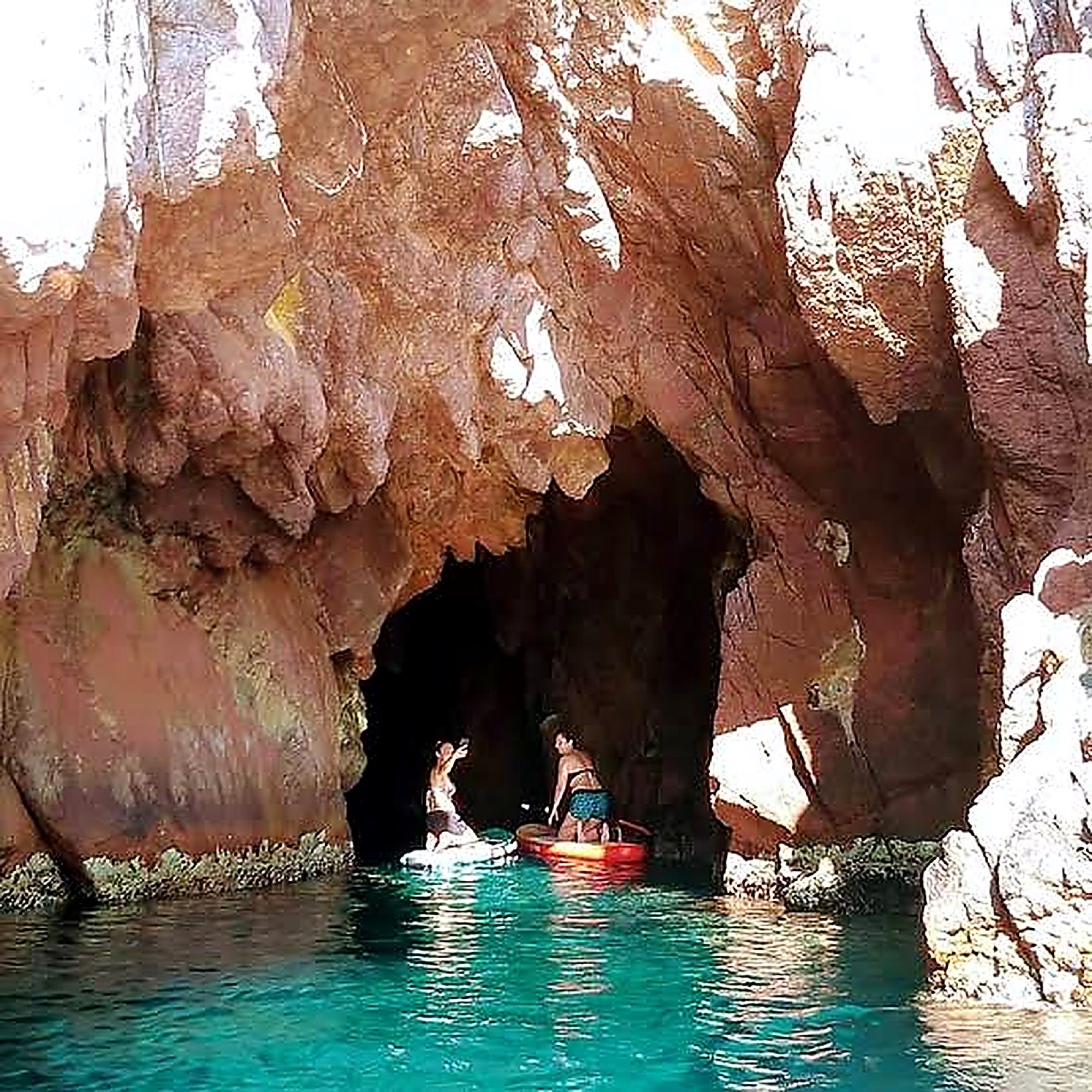
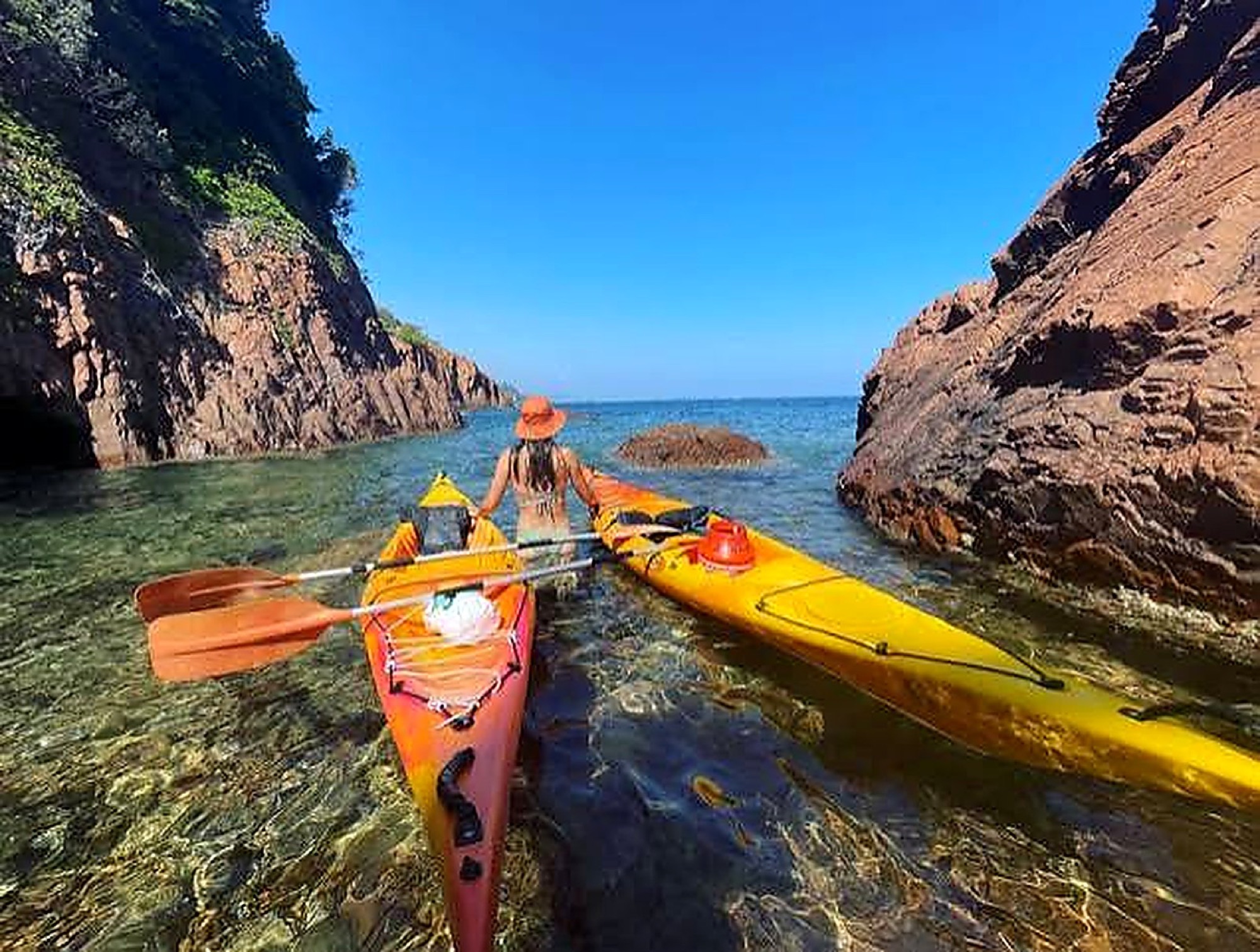
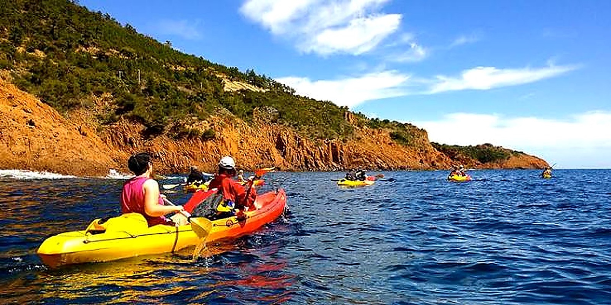
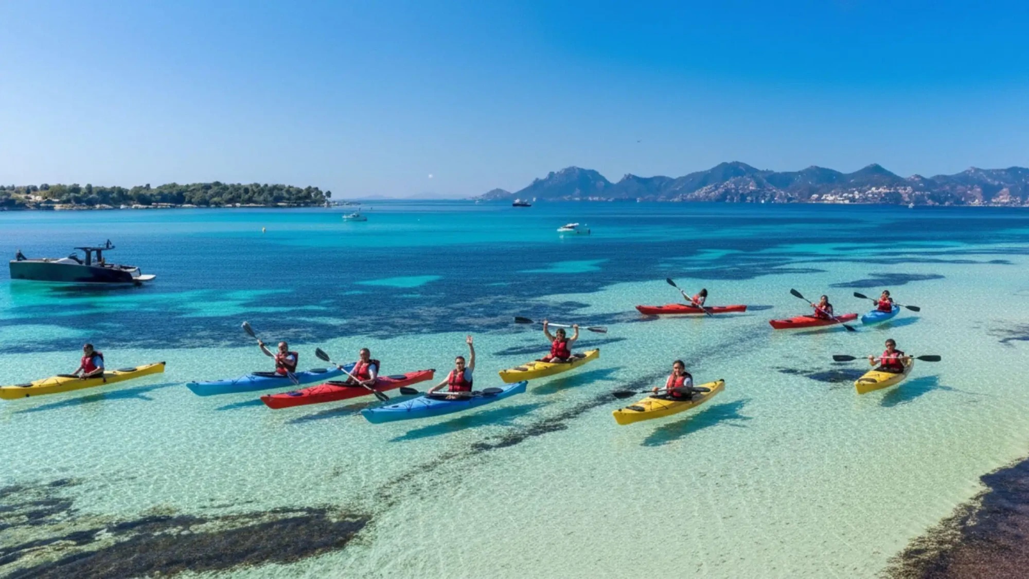
Some of the Esterel's coves only truly reveal themselves from the sea. To discover the red rocks at water level, our guided Esterel Massif tour leaves from Théoule-sur-Mer, just a few stops from Saint-Raphaël on the same TER line. Four hours by kayak, 16 people max, with a state-certified instructor. To compare spots, also read our article on kayaking the Esterel and its red rocks.