Cap Dramont Hike: The Loop Facing Île d'Or
The Cap Dramont loop starts from Camp Long beach in Saint-Raphaël (Agay area): about 4 km, 2 hours of walking and 175 m of elevation gain according to Estérel Côte d'Azur Tourisme. It passes the semaphore, where the view takes in Île d'Or, the Bay of Agay and the Esterel, then comes back down via the little harbor of Poussaï. Easy level, reachable by train (Le Dramont station) or bus.
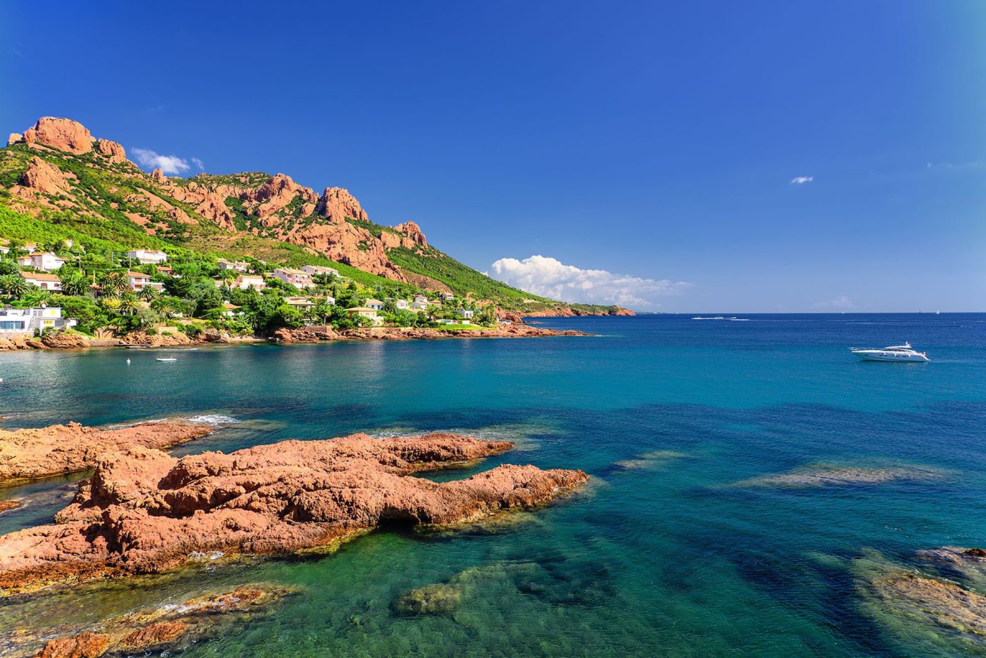
Cap Dramont is the headland that separates Boulouris from the Bay of Agay. Covered in pines and oaks, it's part of the Esterel state forest and, for a modest effort, offers one of the most complete panoramas on the Var coast. It's the perfect half-day walk, solo, as a couple or as a family with kids who are used to walking.
The classic loop from Camp Long
At a glance
- Start: Camp Long beach, 83700 Saint-Raphaël (parking at the end of Allée Robinson, follow the "Tiki Plage" sign).
- Distance: about 4 km, loop.
- Duration: about 2 hours, not counting breaks.
- Elevation: about 175 m of gain, high point around 104 m.
- Waymarking: yellow at the start.
- Level: easy, but with a few rocky sections.
These figures come from Estérel Côte d'Azur Tourisme's official route sheet, where you can also download a GPX file.
The route
From the parking lot, a small yellow-marked path first runs along the sea. It then climbs up onto the cliff before joining a paved track that leads up to the semaphore. Walk around the building on the right. The return follows the track above the south side of the cape, with a detour to Poussaï harbor before heading back to Camp Long.
The semaphore and the view of Île d'Or
The Dramont semaphore was built in 1860 on the ruins of a 1562 watchtower, according to the Saint-Raphaël tourist office. It's still used for maritime surveillance: the building is closed to the public, but the area around it offers the view you came for.
In front of you lies Île d'Or. The story of this rock is a delight: bought in 1897 by a Dramont architect named Sergent, it later passed into the hands of Dr. Auguste Lutaud, perhaps after a card game, according to local legend. Lutaud proclaimed himself "Auguste I", sovereign of the island, and had a square tower built there in red Esterel stone. Many believe the island inspired Hergé's The Black Island, though the link has never been established with certainty. The island remains private property: you can't land on it.
On clear days, the panorama stretches from the Bay of Agay to the Esterel hills, and westward over the Gulf of Fréjus.
Poussaï harbor and Plage du Débarquement
At the foot of the cape, Poussaï harbor is a tiny fishermen's shelter with colorful boats, surrounded by mimosas that bloom in late winter. A small red-pebble cove lets you dip your feet in.
Works warning: for winter 2026–2027, Estérel Côte d'Azur Tourisme reports that the path down to Poussaï harbor is diverted via Boulevard du Sémaphore, a detour of about 650 m. Check the situation on the tourist office website before you go.
On the western side of the cape lies the Plage du Débarquement (Landing Beach). On August 15, 1944, according to the tourist office, about 20,000 soldiers of the US 36th Infantry Division (the Texas Division) landed on these pebbles in less than ten hours. A landing craft and a memorial can be seen on the esplanade. A roughly 3.5 km variant of the walk actually starts from this beach and heads up to the semaphore and the old battery.
Extend it with the coastal path
If 4 km feels too short, combine the cape with the sentier du littoral, the old yellow-marked customs officers' path linking Port Santa-Lucia to Agay. The Boulouris – Le Dramont section takes about two hours. Between Plage du Débarquement and Pointe de Pierre Blave, the path leaves the sea for 1.2 km to skirt the Dramont lakes. The ground is stony and the coastal rocks can be slippery.
For a proper full day of walking in the massif, see our selection of hikes in the Esterel Massif.
Getting there and practical tips
Without a car
- Train: the TER (ZOU!) Les Arcs – Nice line stops at Le Dramont station, close to the start. Not every train stops there: check on SNCF Connect.
- Bus: line 21 of the Estérel Côte d'Azur – Le Bus network serves the Camp Long stop from Saint-Raphaël bus station . From the stop, follow the road to the "Tiki Plage" sign.
More options in our guide to getting to Saint-Raphaël without a car.
When to go and what to bring
- Best time: from fall to spring, the light is superb and the heat bearable. In summer, set off early in the morning.
- Wildfire risk: from June to September, access to the Var massifs is regulated according to a risk map published every evening by the prefecture. Check it the day before.
- Gear: hiking boots or sneakers with good soles, 1 liter of water per person, a hat, and a swimsuit for a dip at Camp Long at the end.
Our partners in Saint-Raphaël
Frequently asked questions
Is the Cap Dramont hike difficult?
No, it's rated easy: about 4 km and 175 m of elevation gain. A few rocky sections call for good shoes.
Can you visit Île d'Or?
No. Île d'Or is private property. You can admire it from the cape, from the Dramont beaches or from the sea.
Can you visit the Dramont semaphore?
No, the building is used for maritime surveillance and is closed to the public. You walk around it on the outside.
Can you do the walk with kids?
Yes, with kids who are used to walking. Avoid the hottest hours and keep an eye on them near the cliffs.
Kayaking with Azurkay
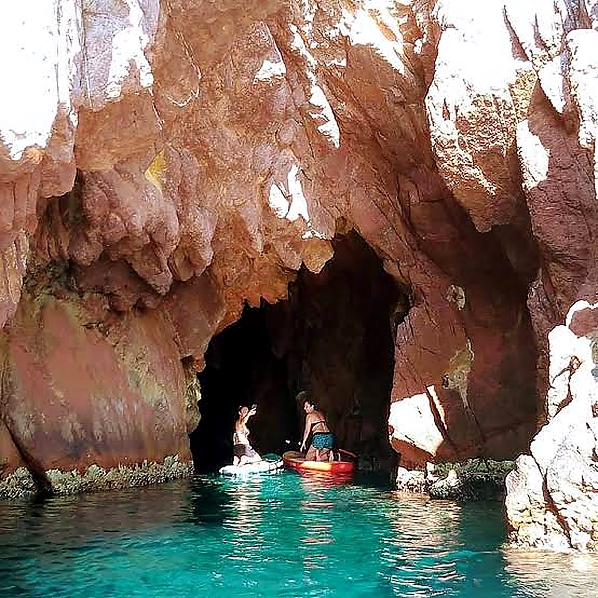
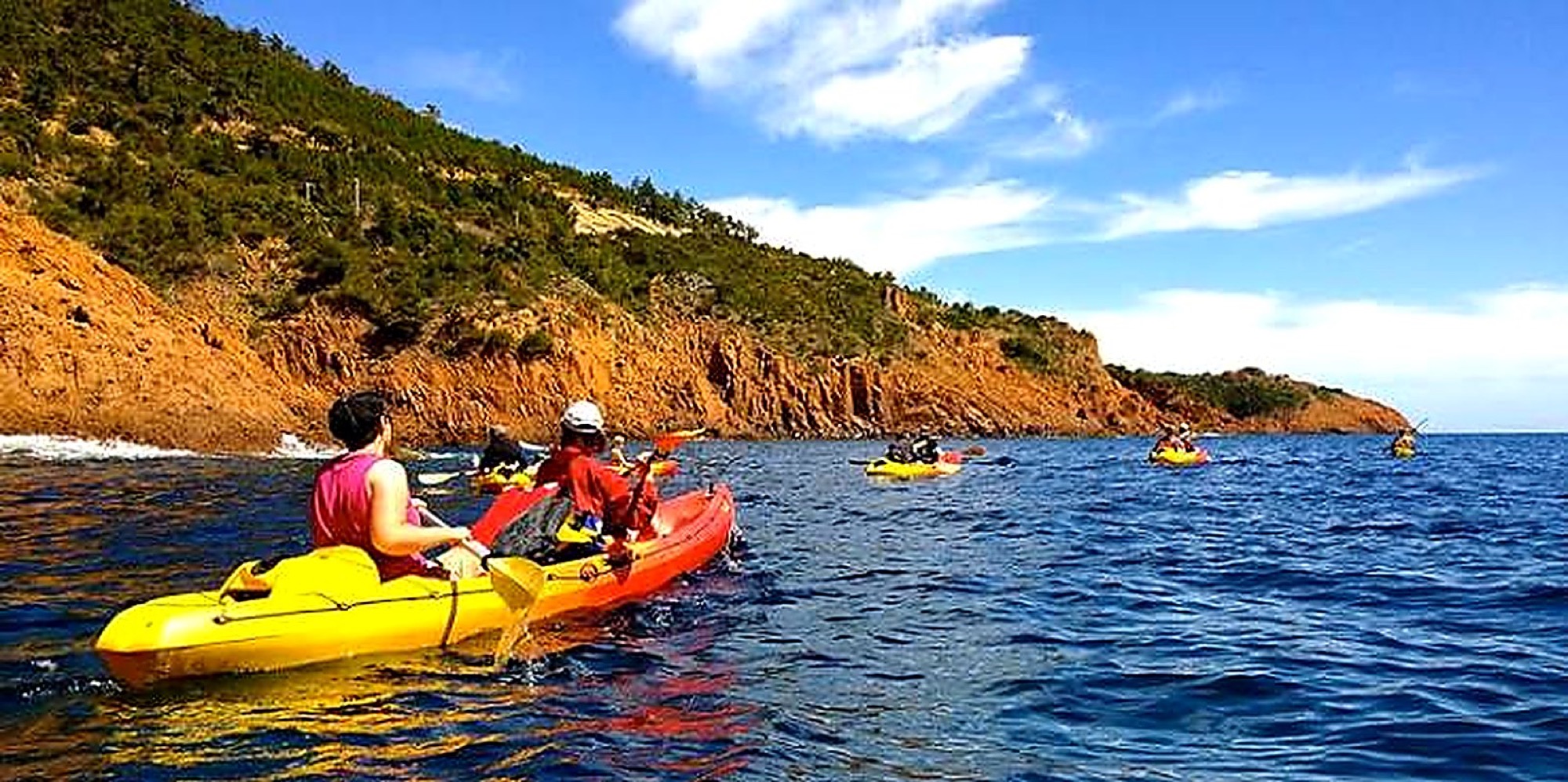
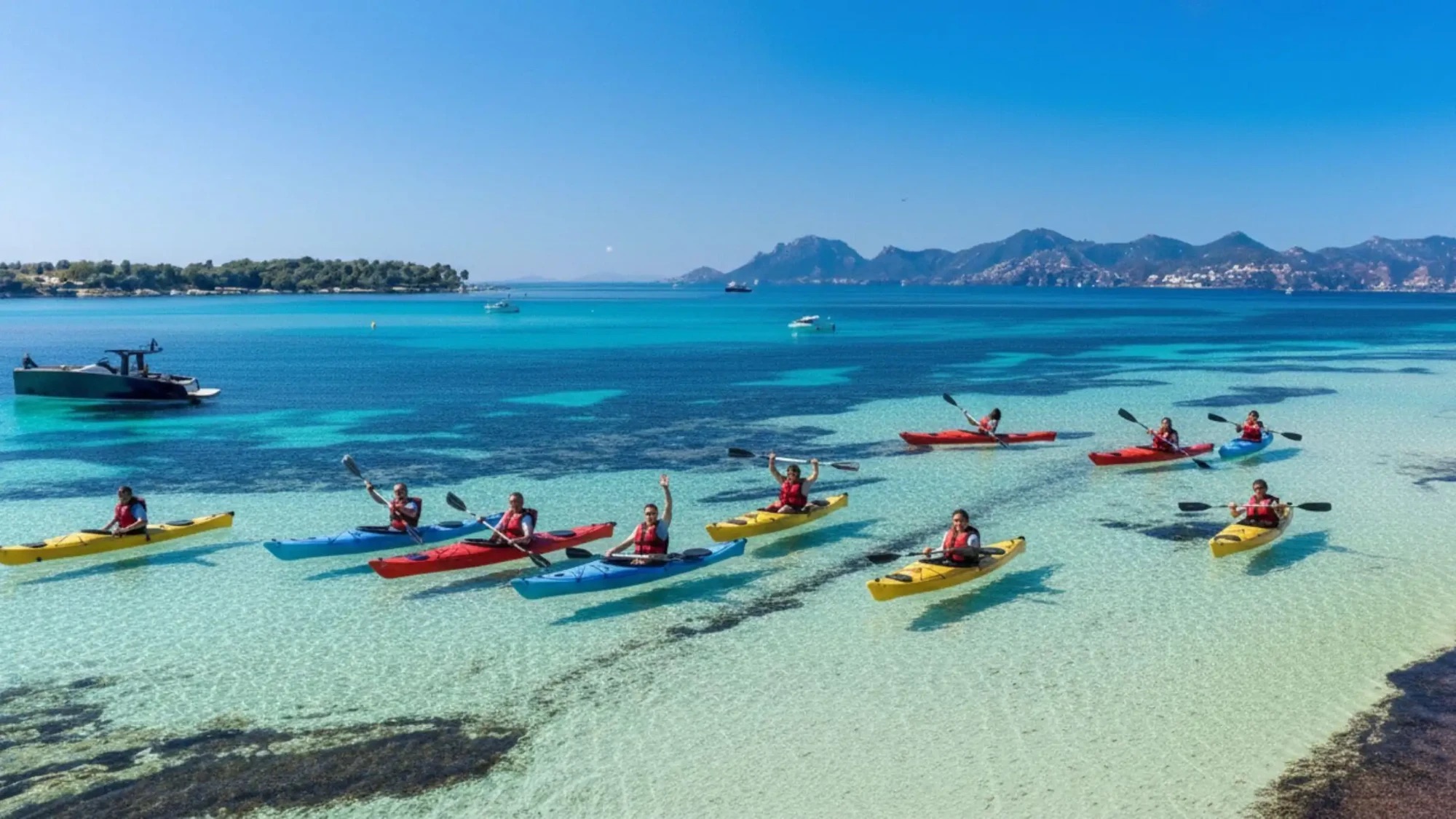
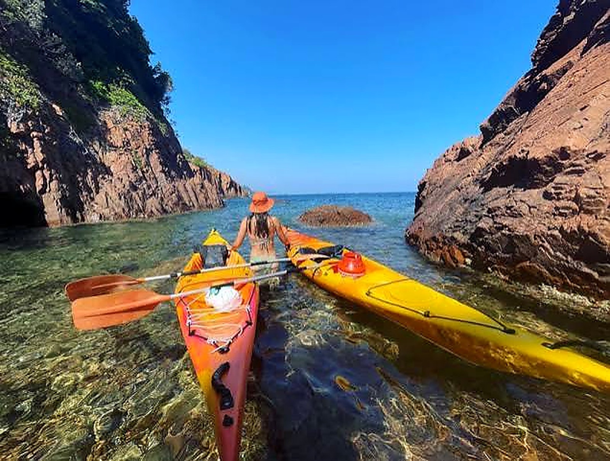
After taking in the red rocks from the semaphore, discover them from the sea. Our guided tour of the Esterel Massif leaves from Théoule-sur-Mer, reachable by TER train from Le Dramont: four hours of kayaking in small groups of 16 people maximum, led by state-certified instructors. The natural follow-up to a day of walking on the coast.