Best Hikes in the Esterel Massif
For a first visit, do the Aiguille loop in Théoule (1 hr 30, easy) or the Pic du Cap Roux loop on the Saint-Raphaël side (4 hr 30, hard but spectacular). Fit hikers can set off from the Vallon de l'Autel toward the Crête des Grues or the Lac de l'Écureuil. In summer, always check the evening before whether access to the massif is allowed.
The Esterel is a range of red rock plunging into the Mediterranean between Saint-Raphaël and Mandelieu-la-Napoule. Its trails offer something rare on the French Riviera: real summits, less than an hour's walk from the sea. Here's how to pick your route.
Understanding the massif before you go
A volcanic mountain
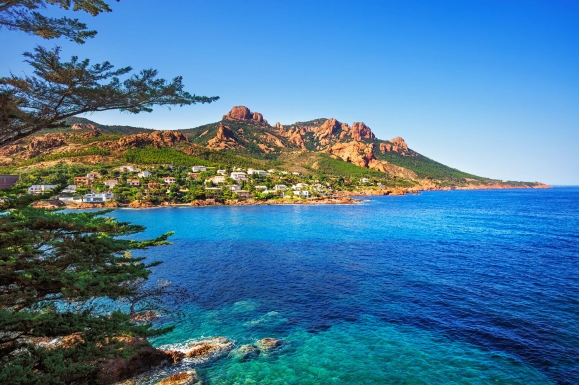
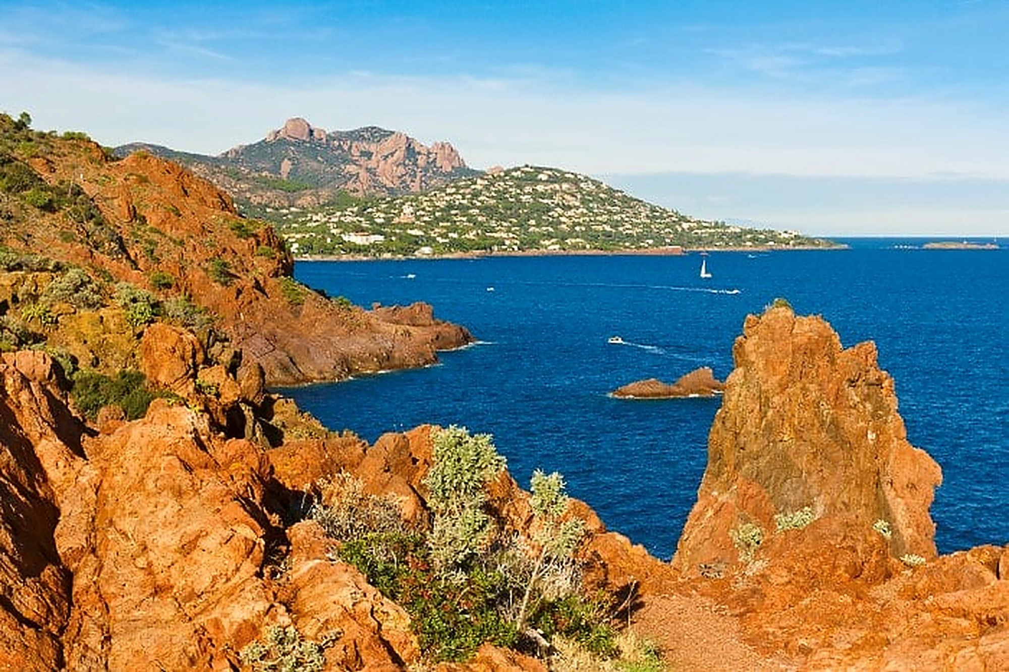
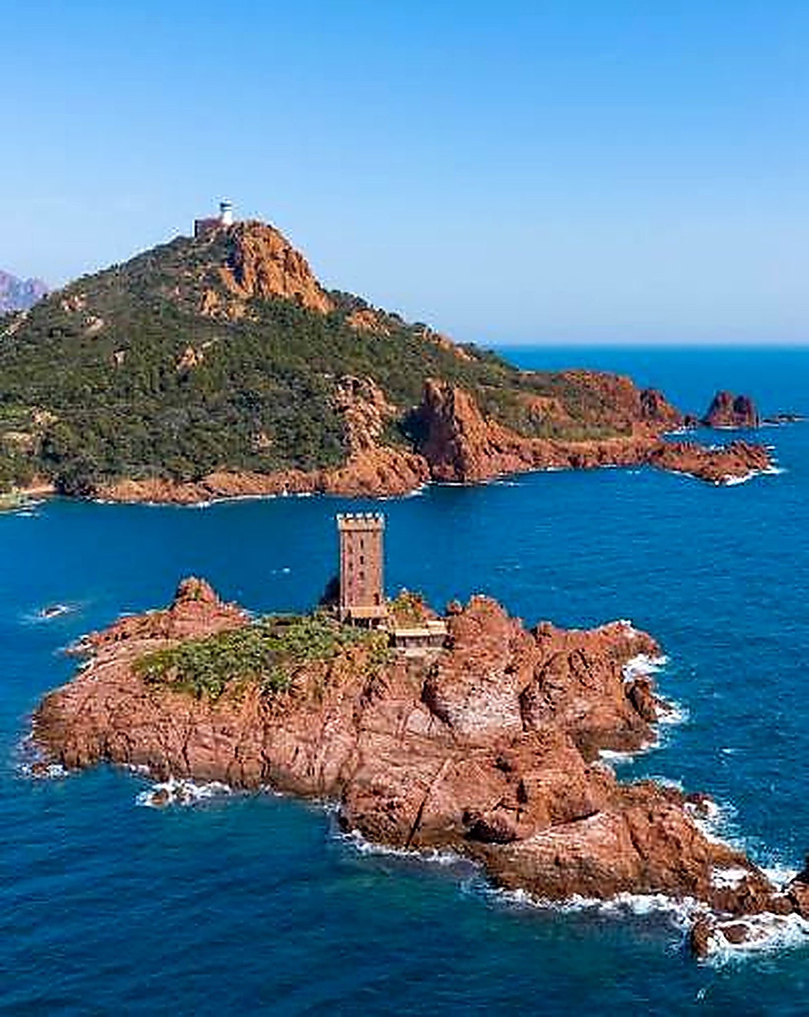
The Esterel's color comes from rhyolite, a volcanic rock formed during intense activity around 250 to 280 million years ago (the Permian period). The result: jagged ridges, dry ravines and red earth that contrasts with the green of the pines and cork oaks.
Two departments, several managers
The massif straddles the Var (Saint-Raphaël, Fréjus, Les Adrets…) and the Alpes-Maritimes (Mandelieu-la-Napoule, Théoule-sur-Mer). On the Var side, much of it is state forest managed by the French National Forests Office (ONF); on the Alpes-Maritimes side, you're walking in the Esterel departmental nature park. The eastern part of the massif has been a protected classified site since 1996. The highest point is Mont Vinaigre, on the Var side, at about 614 m (maps sometimes say 618 m).
Easy walks from Théoule
The Aiguille loop
Start from the Esplanade du Général de Gaulle in Théoule: about 1 hr 30, 2.5 km and 160 m of elevation gain. You follow garnet-red cliffs out to the Pointe de l'Aiguille, with a pebble beach and the Gardanne cave. It's the ideal outing with kids, and the only one on this list that stays by the water.
Rocher des Monges
Start from the Théoule marina: about 2 hr 30, 5.9 km and 300 m of elevation gain, moderate difficulty. The trail climbs above the village, with views of the Pre-Alps, the Mercantour and the statue of Notre-Dame d'Afrique.
The big hikes from the Vallon de l'Autel
The Vallon de l'Autel parking lot, above Théoule, is the starting point for the more demanding routes on the Alpes-Maritimes side.
- Crête des Grues: about 4 hr, 11.6 km, 540 m of elevation gain. You pass the Petites Grues (413 m) and the Grosses Grues (440 m), with the Lérins Islands below and, on very clear days, Corsica on the horizon. In February, the mimosas are in bloom. Take care on the steep sections.
- Dent de l'Ours, Grotte d'Utzel and Lac de l'Écureuil: about 6 hr 50, nearly 18 km and 600 m of elevation gain. This is the toughest loop: rocky descents, exposed overhanging sections, and the small Lac de l'Écureuil at the bottom of its ravine. The Pic de l'Ours (about 492 m) towers over the area.
The Var side: Cap Roux and Saint-Pilon
If you only do one big hike, it should probably be the Pic du Cap Roux loop, starting from the Sainte-Baume parking lot in the municipality of Saint-Raphaël: about 4 hr 30, 5.1 km and 500 m of elevation gain, rated hard. The trail goes over the Col de Saint-Pilon, at the foot of a huge block of rhyolite, with an optional detour to the Grotte de Saint-Honorat. At the summit of the Pic du Cap Roux (453 m), you'll find a viewpoint indicator and a 360° panorama that reaches as far as the snow-capped Mercantour in winter.
More accessible, the Rastel d'Agay (about 2 hr 30, 8.4 km, 360 m of elevation gain, starting from the Togo parking lot in Agay) has a viewpoint indicator and views of the Pic de l'Ours and Cap Roux.
Summer access rules for the massif
This is the one thing you must never overlook. From roughly mid-June to mid-September, access to the forested massifs is regulated daily according to the wildfire risk, in both departments:
- in the Alpes-Maritimes, the map published on risque-prevention-incendie.fr ranges from green (access allowed) to red (access banned), via yellow and orange (access discouraged). The Esterel and the Tanneron are among the massifs most often closed at red level;
- in the Var, the same platform shows a level for each massif, with the Esterel among the notable massifs monitored.
The map is updated every day around 6pm for the following day. Access points aren't always physically barred: it's up to you to check. Fires are banned in summer, and you must never park in front of a forest gate, which has to stay clear for emergency services.
Planning your hike
- Season: fall, winter and spring are the best times. February is mimosa season.
- Water: there's no reliable water source on the ridges. Bring plenty to drink: some guides recommend at least 3 liters per person for Cap Roux.
- Footwear: hiking boots with lugged soles, essential on rhyolite that rolls underfoot.
- Timing: set off early, as the slopes are very exposed to the sun.
- Without a car: from Cannes, bus 22 serves Théoule and Le Trayas, and the TER train stops at Théoule-sur-Mer .
Our partners in Théoule-sur-Mer
Frequently asked questions
What is the easiest hike in the Esterel?
The Aiguille loop in Théoule-sur-Mer (1 hr 30, 160 m of elevation gain) or the Rocher de Saint-Barthélemy trail in Saint-Raphaël, which is almost flat.
Can you swim during a hike in the Esterel?
Yes, if you stick to the coast: the Aiguille loop leads to a pebble beach. On the ridges, plan a swim at the end rather than during the walk.
Is the Esterel Massif closed in summer?
Not systematically, but it often is on red-risk days. Check the prefecture's map the evening before.
Do you need a guide to hike in the Esterel?
No, the trails are waymarked. Still, bring a map or a GPS track, since the paths cross each other a lot.
Kayaking with Azurkay
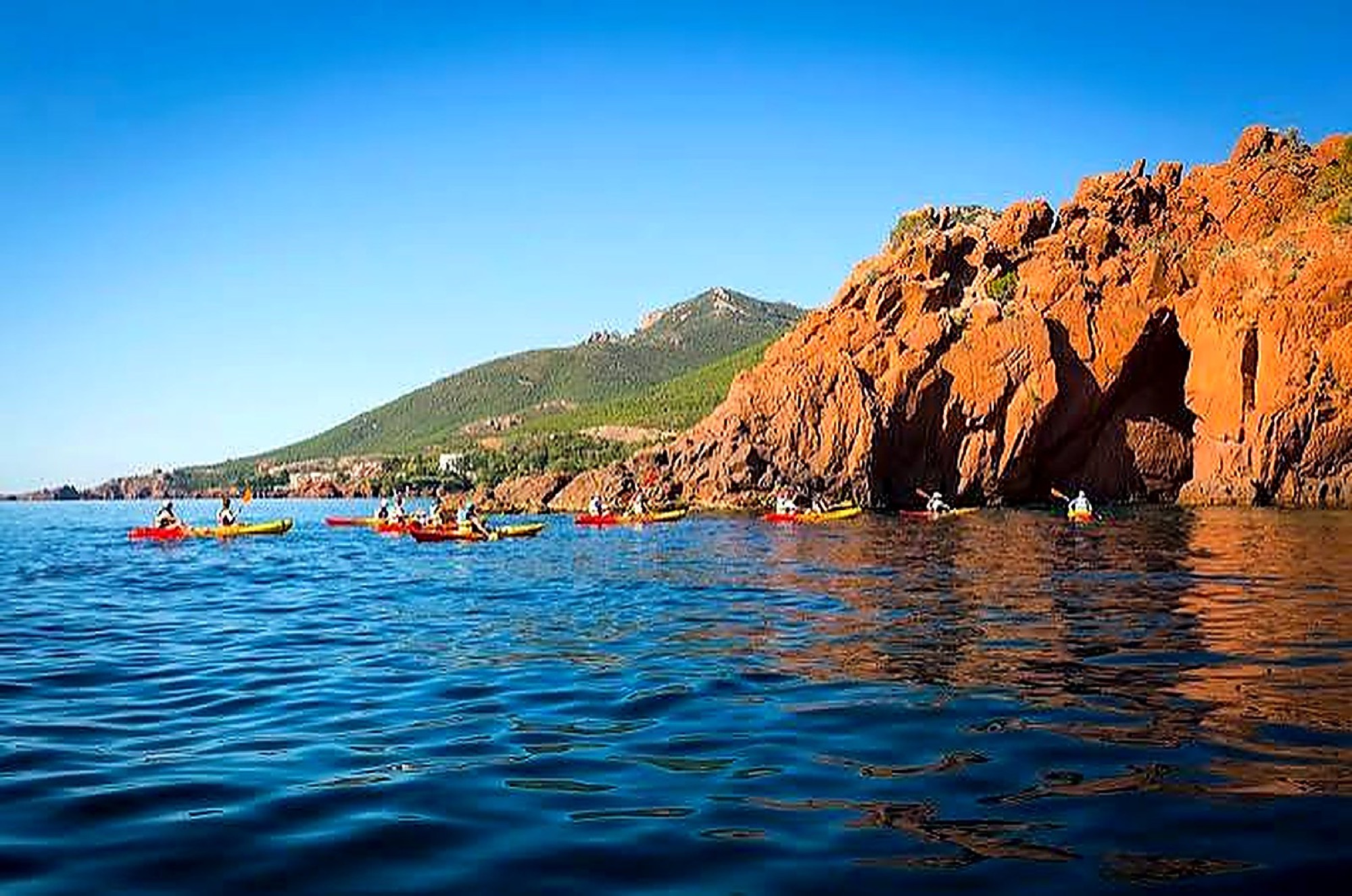
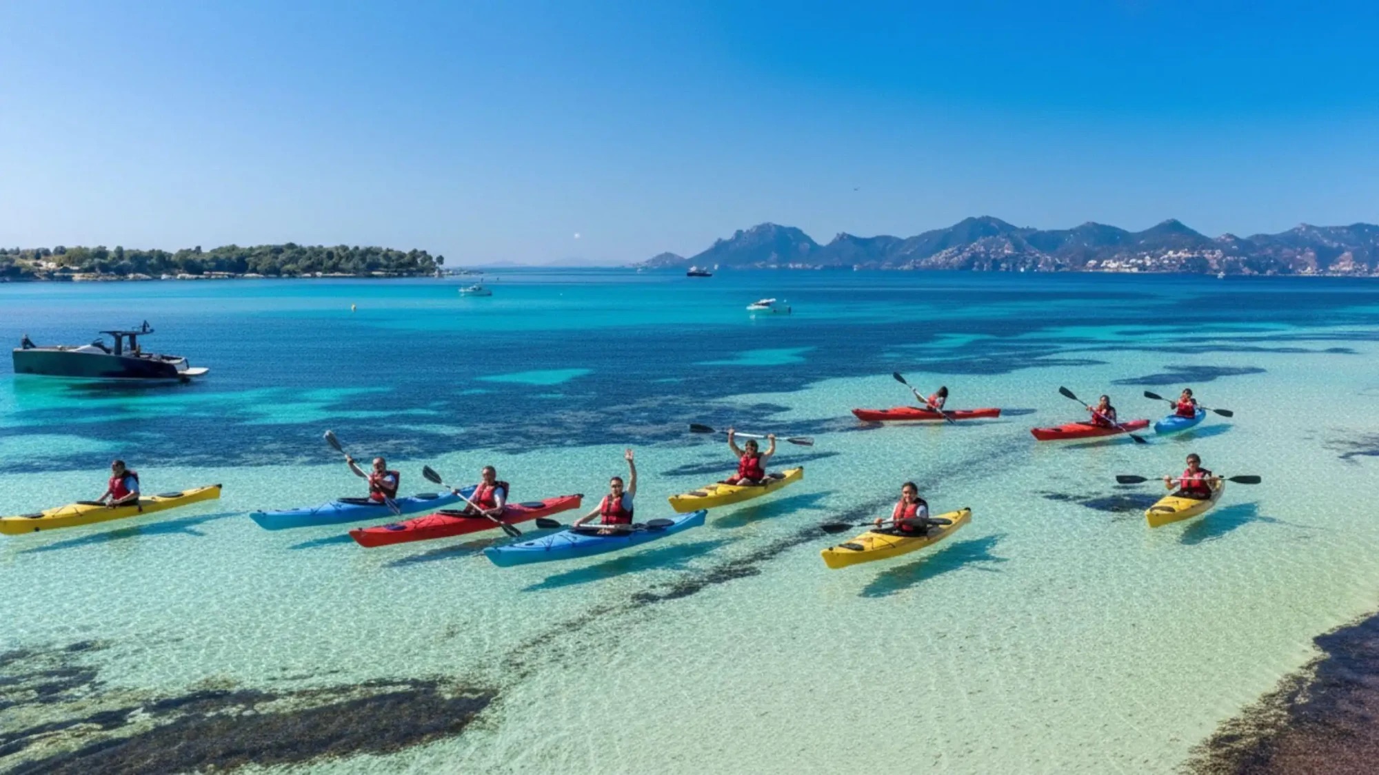
After the ridges, the sea: it's from the water that you really understand the Esterel, with its rhyolite cliffs dropping sheer into the sea. Our guided tour of the Esterel Massif leaves from Théoule-sur-Mer and follows the red rocks for four hours, with state-certified instructors. A good option on days when the massif is closed; to choose the best time of year, read our article when to go kayaking on the French Riviera.